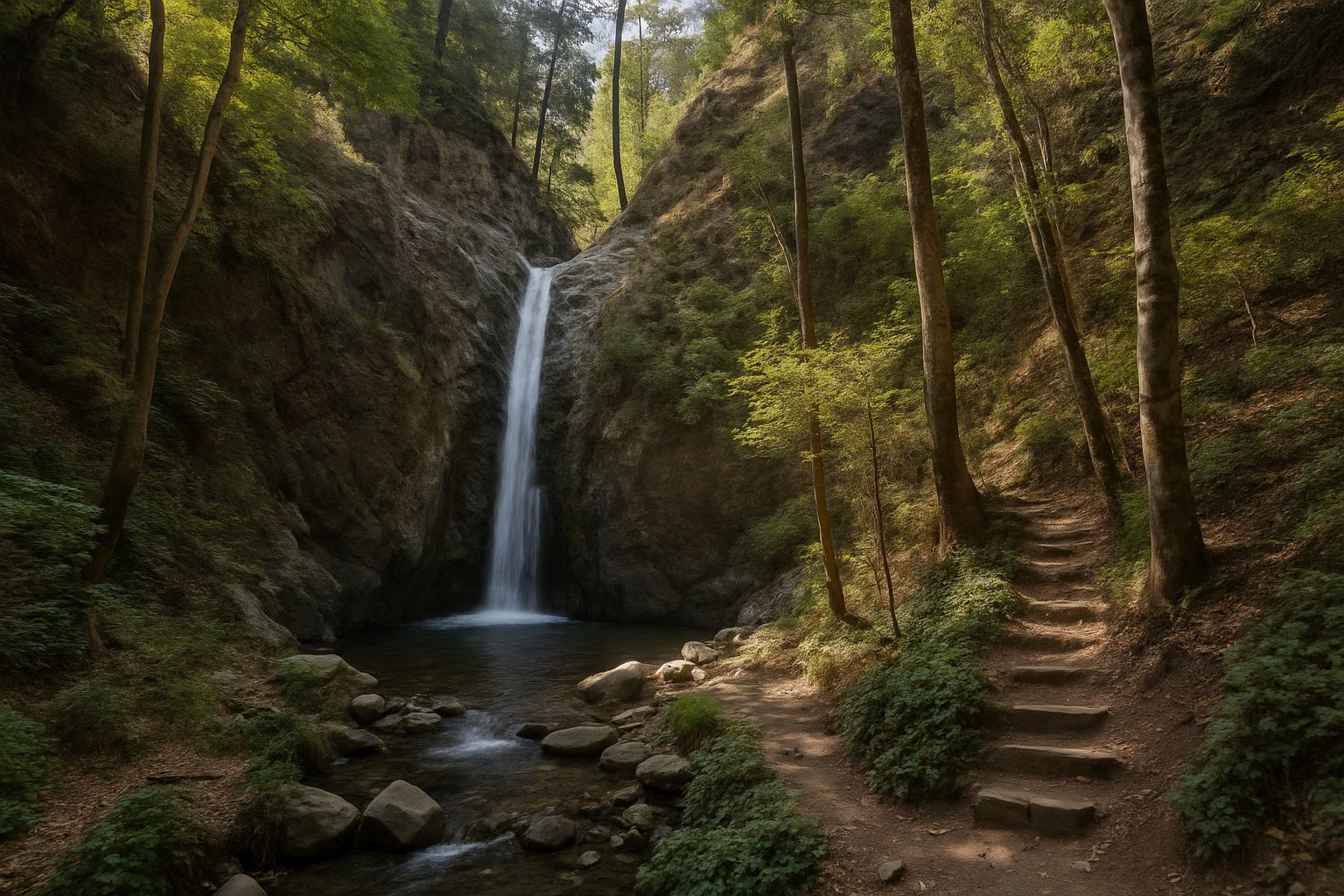
The Troodos Geopark lists five official waterfalls in the mountains, and the best known are anything but hidden: Caledonia and Millomeris on the Kryos river either side of Pano Platres, Chantara above Foini and Mesa Potamos by the monastery of Timios Prodromos, with a fifth, Mavritsios, near Gourri in the Pitsilia area. The Geopark calls the falls near Pano Platres and Foini "the most impressive waterfalls of Cyprus". Each can be reached on an official trail or by car, and the Department of Forests publishes the length, grade and season of the trails, set out below.
Caledonia: the classic ravine trail
The Caledonia waterfall, also spelt Kalidonia, drops 13 metres onto hard gabbro rock in the valley of the Kryos river, about 2 km north of Pano Platres. The Department of Forests' Kalidonia trail that passes it is 3 km long and linear, takes about 1.5 to 2 hours one way and carries the department's hardest grade, 3, dropping from about 1,600 m to 1,200 m through dense forest along the Kryos, one of the few Cypriot rivers with water all year. Many of its river crossings have been built up, but at some you step on wet, slippery stones, and the department warns of a high risk of slipping; there are steps, rest areas, plant labels and three shelters from the rain, but no drinking water. The stretch from the top start to the falls is part of the European E4 long-distance path.
There are two starts. The top one is on the old Troodos to Platres road below the Presidential summer residence, about 2 to 3 km by road from Troodos Square, with small parking areas; the bottom one is at Psilo Dentro above Pano Platres, where you park near the Psilo Dentro restaurant and walk 300 m up a lane to the trail kiosk. The falls sit about halfway along the trail on the Department of Forests' own map, so from the road at Psilo Dentro they are about 1.4 km away, an uphill walk with some 120 to 160 m of climbing, and going there and back from the bottom is the shorter option for families. Trout swim in the pools, but fishing is banned. Visit Cyprus says the name is believed to come from English or Scottish visitors to the area in 1878; Caledonia is the Roman name for Scotland.
Millomeris: the tallest, below Platres square
Millomeris is 20 metres high, according to both the Department of Forests and the Troodos Geopark, and the department calls it the tallest waterfall in the Troodos; it lies in the Kryos valley about 1 km south of Pano Platres. Its trail is 1.2 km long and linear, graded 3 on the department's current list, and takes about 30 to 45 minutes, descending from about 1,070 m to 980 m: from Platres square follow the road towards Kato Platres for about 300 m to the start, just before the church of Panagia Faneromeni. For its first 600 metres the path follows the Kryos under oriental plane and alder, with frequent river crossings and a risk of slipping, then crosses an open slope looking towards the Pera Pedi dam valley before reaching the falls at the end. A dirt road from the Platres to Limassol road, starting about 1 km beyond Psilo Dentro, also reaches the falls by car. The trail is outside the state forests, so the local community, not the Department of Forests, looks after it.
Chantara: an easy forest-road walk above Foini
Chantara, 8 metres high, is on the Trooditissa river about 1.5 km north of Foini. The Department of Forests' Trooditissa Monastery to Foini trail passes it: 4.3 to 4.5 km, linear, grade 1, the easiest, about 2 hours downhill from about 1,330 m to about 940 m, along a forest road that is open to traffic, with no drinking water. The trail kiosk is on the left of the Platres to Prodromos road, 400 m from Trooditissa monastery, with space to park on the forest road. The falls are about 3.5 km from the top and about 1.1 km from the Foini end, so a short walk up from the village and back also works. Tradition, the department says, takes the name from "antara", the local word for the noise of falling water, and Foini, at the trail's end, is known for its loukoumia.
Mesa Potamos and Mavritsios
The 7 metre Mesa Potamos waterfall is in the valley of the Mesa river near the monastery of Timios Prodromos, and the Geopark says it can be reached by car. The Department of Forests' Arkolachania (Mesa Potamos) picnic site, at about 900 m, lies about 150 m away, with tables, benches, toilets and facilities for visitors with reduced mobility; it is 7 km from Saittas along the road to the monastery, turning left just before it. The forest road that runs from the Platres to Mesa Potamos to Amiantos road at Vryses up to Troodos Square has been closed to all vehicles because of landslides since 22 April 2026. The fifth official fall, the 8 metre Mavritsios, is on the Serrachis river 1 km south-east of Gourri in the Pitsilia area, and the Geopark says it can be reached on a nature trail or by car.
When to go, and when the trails close
The Department of Forests gives March to November as the best period for these trails. In winter it closes Troodos trails for snow, frost, erosion and landslides: the Caledonia trail was among 15 closed from 13 January 2026 until a notice dated 25 April 2026 reopened them, and among those closed from 7 February to 10 March 2025; the Chantara and Millomeris trails were not on those lists. Of these streams, only the Kryos, which feeds Caledonia and Millomeris, is officially described as flowing all year, and no flow figures are published for any of the falls. The year to September 2026 brought 124% of normal rainfall, and August 2026 was the wettest August in Cyprus since records began in 1901, according to the Department of Meteorology. Storms also bring rockfalls: on 5 September heavy rain caused rockfalls and landslides along the Saittas to Karvounas road, and on 14 October the Cyprus Mail reported landslides with debris on the main roads in Platres and Amiantos. Before you go, check the Department of Forests' announcements or ring the Troodos Forest Division on 22 608 512.
In late autumn the light goes early: after the clocks change on 25 October, sunset at Platres is just before 17:00, and by 1 December it is about 16:40. Hunting is allowed on Sundays and Wednesdays from 1 November to 27 December 2026, so wear bright clothes on those days.
Getting there
By car from Limassol, Pano Platres and Psilo Dentro are about 40 km away, just under an hour, the Foini end of the Chantara trail about 49 km and the Mesa Potamos falls about 39 km, by the OSRM route planner's traffic-free estimates; mountain driving is often slower. EMEL bus 64 from Limassol stops at "Millomeris Waterfall", Pano Platres village centre and "Platres Forest Station, Kalidonia", 11 m from the bottom of the Caledonia trail; on the timetable for 23 October 2026 it left Limassol's Old Port at 09:16, reached Platres at 10:25 and came back from Troodos Square at 15:30, so check the current timetable. From Platres centre it is about 1 km on foot to Psilo Dentro and 300 m to the Millomeris start.
Rules and safety
Lighting a fire anywhere on a trail is strictly forbidden, and fires are allowed only in the built barbecue places of official picnic sites; avoid smoking as you walk. Bicycles and motorcycles are banned on all nature trails. Stay on the path, since stepping off it exposes you to rockfall and falls, wear non-slip shoes, and tell someone when you set off and when you expect to be back. Cutting plants, taking rocks and disturbing wildlife are banned under forest law. There is no official guidance on swimming at the falls, so do not plan on it. Drone pilots should check the Department of Civil Aviation's geo-zones: the top Caledonia trailhead lies inside the 200 m zone around the Presidential summer residence, where flights need the Presidential Guard's permission, applied for at least two weeks ahead, and Troodos Square is in a zone where drone flights are prohibited. To report smoke or fire, call 1407 (Department of Forests) or 112. The Platres tourist information office, at Olympou 4C, opens Monday to Friday, 08:30 to 16:00 (+357 25 421 316).
And if the mountains have you thinking about life in Cyprus, our relocation help is here when you need it.
